Friday, 10 July 2009

2nd July Thunderstorm Animation

I made an animation of the thunderstorm that headed in the Minch on Thursday 2nd July to post on the Tornado & Storm Research Organisation forum, about the effects of the lightning strikes that occurred around the Highlands from this storm.
I thought it would also be good to post it on here as well, so you can see the track that the storm took through the day.
The animation starts at 10:45 in the morning, through to 18:45, in hourly radar images.
Radar images from Netweather.tv
Click on the image for a larger version.

Monday, 6 July 2009

THUNDERSTORM WARNING

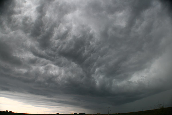
Hebrides Weather currently tracking three thunderstorms, two off the Scottish East Coast and one near St Kilda, west of the Outer Hebrides.
There are also storm cells in the central Highlands but the mountains are blocking these strikes from our sensors.
The storm near St Kilda has only been active for the last few minutes but there have been a high number of cloud to ground strikes from this storm. The track of this storm in yet unknown so for the latest updates go to our Lightning page.

Update:
Radar indicates that the St Kilda storm cell should move southwest away from the islands and out into the Atlantic.
The Storm cells in the North Sea could head NNW and come inshore during the early afternoon.
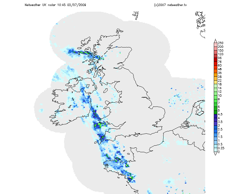
Saturday, 4 July 2009

Thunderstorm Warning

Hebrides Weather is currently tracking a Thunderstorm in the area of Cape Wrath/Durness that seems to be tracking West into the North Minch and towards Ness & the Butt of Lewis.
The storm is giving upto 15 strikes per minute and nearly 200 strikes in the last 30 minute.

You can follow this storm on our Lightning page.

Friday, 3 July 2009

Weather Warning for Highlands & Eilean Siar

Heavy Rain: Valid from 1600 Fri 3 until 2359 Fri 3

Heavy thundery rain will be spreading across these areas later this afternoon and this evening. Up to 30mm could fall locally.
Issued at: 1515 Fri 3 Jul

More information is available from the UK Met Office.

Keep watching the Lightning & Radar pages on Hebwx for the latest.

Thursday, 2 July 2009

THUNDERSTORM ALERT!

Large thunderstorm over Skye heading North.
Hebrides Weather is currently tracking 4 storms with upto 29 strikes per minute.

Photo of the leading edge of the storm.